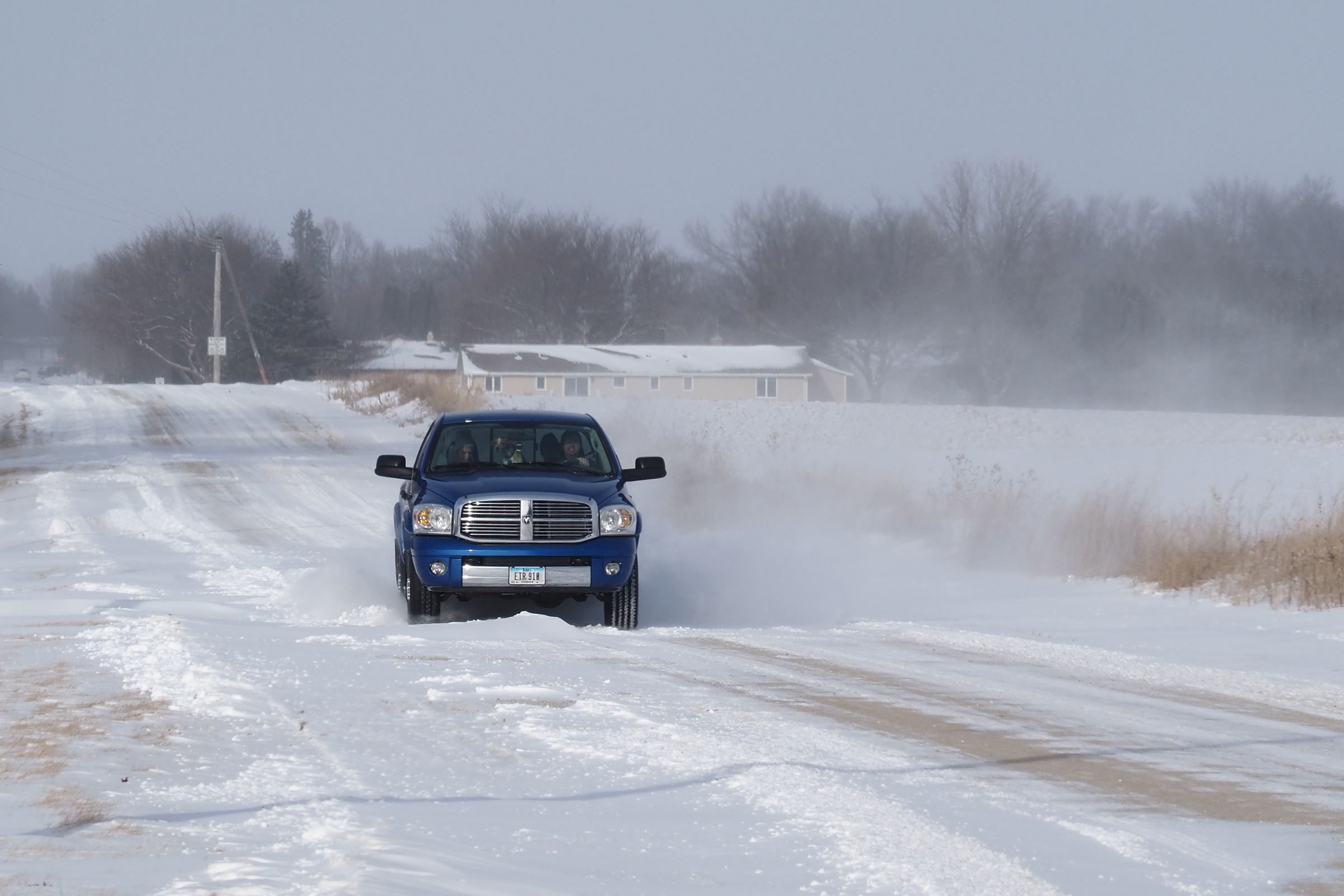
Snow's over, but here comes the winds; blizzard warning still in effect

Stronger winds are on tap for the area Thursday night into Saturday morning, leading to more blowing and drifting of snow on roadways.
By Bob Fenske
Don’t let the relatively paltry amount of new snow that fell on the area Wednesday night and into Thursday morning fool you because the National Weather Service still believes the worst is yet to come.
Officials at the NWS office in La Crosse, Wisconsin, said Thursday that “this is a very dangerous storm with severe impacts to travel” and went on to add that the storm has the “potential to be life threatening if warnings are not heeded.”
Chickasaw County remained under a winter storm warning Thursday and the weather service has also issued a blizzard warning for the area that will run from 6 p.m. Thursday through 6 a.m. on Christmas Eve.
Although most of the area received just three inches of new snow, the big concern is the wind, which had increased to 24 miles per hour, with gusts of 30 mph, by Thursday afternoon.
And it’s only going to get windier.
Thursday night winds gusts are expected to top out at above 40 miles per hour, and Friday’s gusts are expected to be love 50 miles per hour.
With the sub-zero temperatures, forecasters say they expect wind chill values to drop to 40 below Thursday night through Saturday morning.
That led to the NWS to make an urgent plea with residents throughout out Northeast Iowa.
“The best Christmas gift you can give this is to be around for another Christmas,” the weather service wrote in its latest storm update. “Plan now to delay or cancel travel plans.”


